

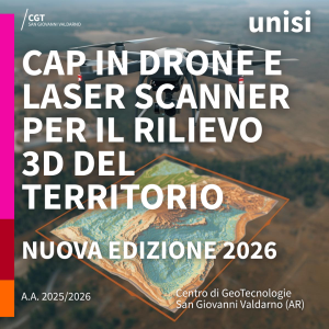
A New Edition of the CGT Advanced Training Course on Terrestrial and Drone-Based 3D Surveying Begins
The activities of the Advanced Training Course (CAP) “Drones and Laser Scanners for 3D Territorial Surveying” have officially begun. The program is organized by the Center for Geotechnologies (CGT) of the University of Siena and is held in person at the San Giovanni Valdarno campus. This new edition opens a training cycle dedicated to advanced techniques for three-dimensional data acquisition and territorial modeling.
The course provides a comprehensive overview of the technologies used in 3D surveying: from UAV systems (drones) for aerial photogrammetry to terrestrial laser scanners, with in-depth sessions on operational methodologies, mission planning and execution, data processing, and the creation of high-precision 3D models. Classroom lessons are complemented by practical exercises and field demonstrations, supported by the specialized equipment and scientific expertise available at the CGT.
The goal of the course is to provide participants with practical, immediately applicable skills for professional contexts such as digital cartography, environmental monitoring, engineering, territorial management, and technical documentation.
The start of this new edition reaffirms the commitment of the Center for Geotechnologies to offering advanced, up-to-date training capable of responding to the growing demands of the market and the technical professions.

