




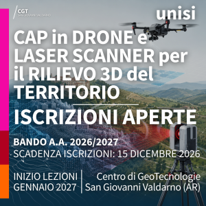
UAV and Laser Scanner for 3D mapping: 2026/2027 Enrolment Open
Enrolment is now open for the Course in UAV and Laser Scanner for 3D mapping of the University of Siena. The deadline is 15 December 2026
The call for enrolment applications has been published for the Professional Development Course in UAV and Laser Scanner for 3D mapping of the University of Siena, Academic Year 2026/2027, with teaching activities based at the Center of GeoTechnologies in San Giovanni Valdarno (Italy).
Course contents
The Course focuses on the acquisition, management, processing and analysis of 3D territorial data obtained through drone-based photogrammetric surveys and terrestrial laser scanning. Its aim is to provide up-to-date operational skills for the use of advanced technologies in surveying and three-dimensional representation of the territory.
The training programme has a strong practical component: alongside theoretical aspects, it includes field and computer-based activities aimed at processing images and 3D data, and producing digital elevation models, stereoscopic models and orthorectified data.
Enrolment
The CAP is open to all interested candidates holding an upper secondary school diploma, as well as graduates and professionals working in the fields of geology, engineering, architecture, forestry sciences, agronomy and archaeology. It is also aimed at technical diploma holders, surveyors, technicians and professionals interested in acquiring specialist skills in 3D territory surveying.
Practical information
- Application deadline: 15 December 2026
- Teaching period: January – March 2027, over three consecutive weekends, on Fridays and Saturdays
- Total number of hours: 48 hours
- Teaching venue: Centro di GeoTecnologie, San Giovanni Valdarno
- Teaching mode: in person
- Enrolment fee: € 600
Enrolment must be completed exclusively online through the University of Siena Segreteria online portal, selecting “Segreteria” from the menu, then “Immatricolazione”, and completing the procedure by the stated deadline.
For further information:

 +39 055.9119449
🔗 https://geotecnologie.unisi.it/en/professional-courses/uav-and-laser-scanner-for-3d-mapping-26-27/

