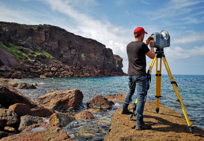
Based on the scientific framework of geodesy, the geomatics deals with the gathering, storing, processing and delivering of geographical informations. This discipline integrates acquisition, modelling, analysis and management of spatially referenced data, acquired using terrestrial, marine, airborne and satellite “sensors”. The Geomatics Laboratory staff carries out applied research by means of Remote Sensing techniques, Digital Photogrammetry, GIS, GPS System and Spatial Statistical Analysis for data processing. These activities continuously evolve and are in rapid progress, due to the advances and increased diffusion and visibility of computer technologies, computer science and software engineering, as well as airborne and space observation technologies. In the last years the laboratory developed investigations using drones and airborne gamma spectroscopy with autogyro for U, K and Th radionuclides detection.


