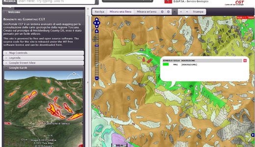
A Geographic Information System (GIS) is a set of tools that captures, stores, analyses, manages and present georeferenced data, merging cartography, statistical analysis, and database technology. Since mid-eighties, thanks to the experiences achieved through the creation of the Geological Database of the National Geological Cartography Project (CARG), the GIS and Digital Cartography Laboratory staff has developed important competencies, conducting research and offering scientific consultancy activities for geo-thematic databases design and implementation, as well as geo-thematic maps extraction from databases. During the last twenty years, the GIS laboratory unit has created the major Italian Geologic and Geo-thematic databases, contributing to their maintenance and implementation according to the standard ISO 19115 GIS.


