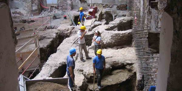
Studying and promoting cultural heritage requires scientific and technological competencies, resulting from the collaboration between technical-scientific and archaeological experts. In this perspective, the geotechnologies for archaeology laboratory is aimed to carry out applied researchers in management, conservation, and enhancement of the archaeological heritage. Researchers apply the geotechnologies in order to identify, characterise and document archaeological evidences through the survey of study areas by means of non-invasive prospecting techniques such as remote sensing, photogrammetry, laser scanning and applied geophysics. The laboratory also deals with the management and dissemination of archaeological data through the creation of relational database management system, GIS and 3D modelling, useful for data representation and interpretation, both for scientific and popular purposes.


