

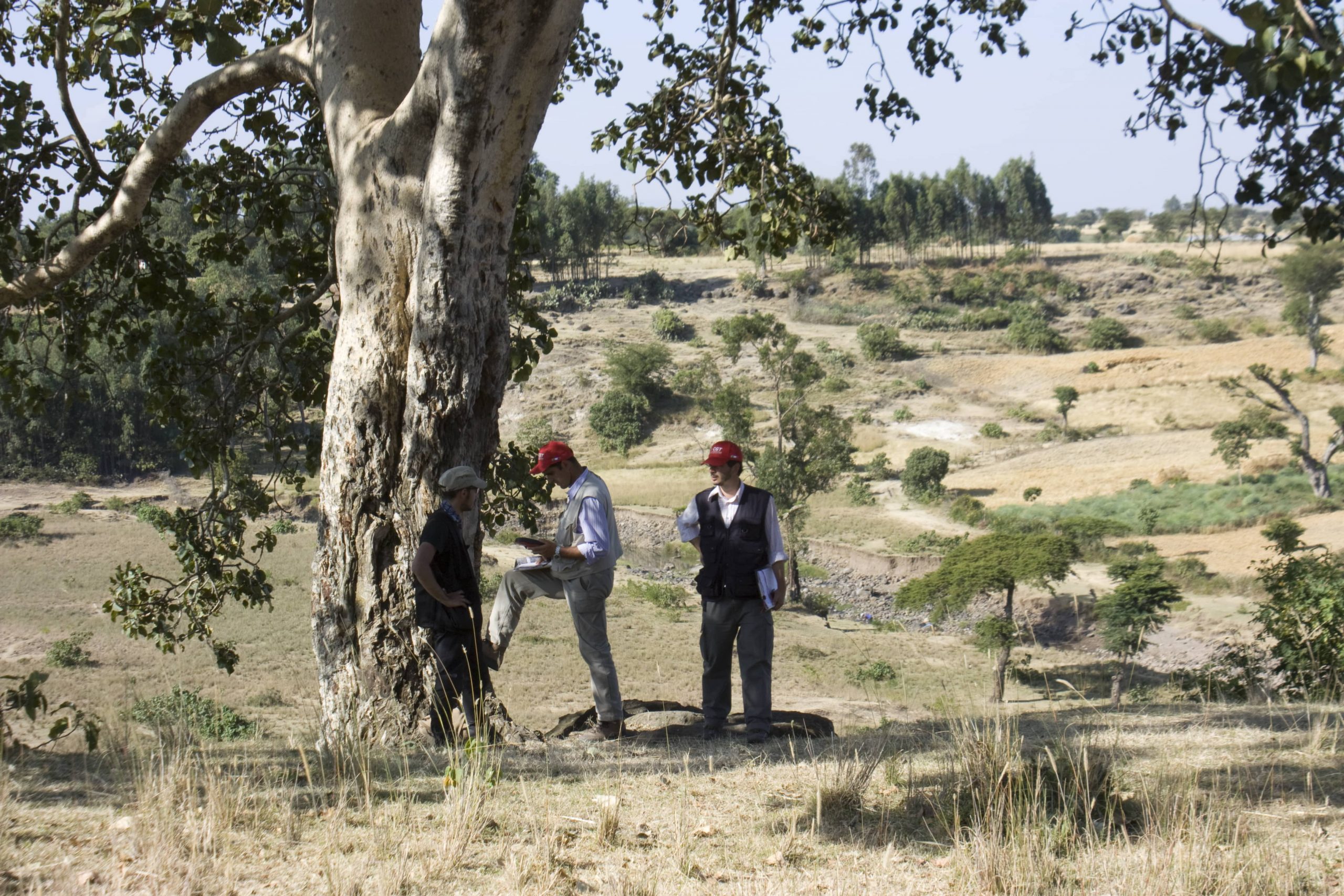
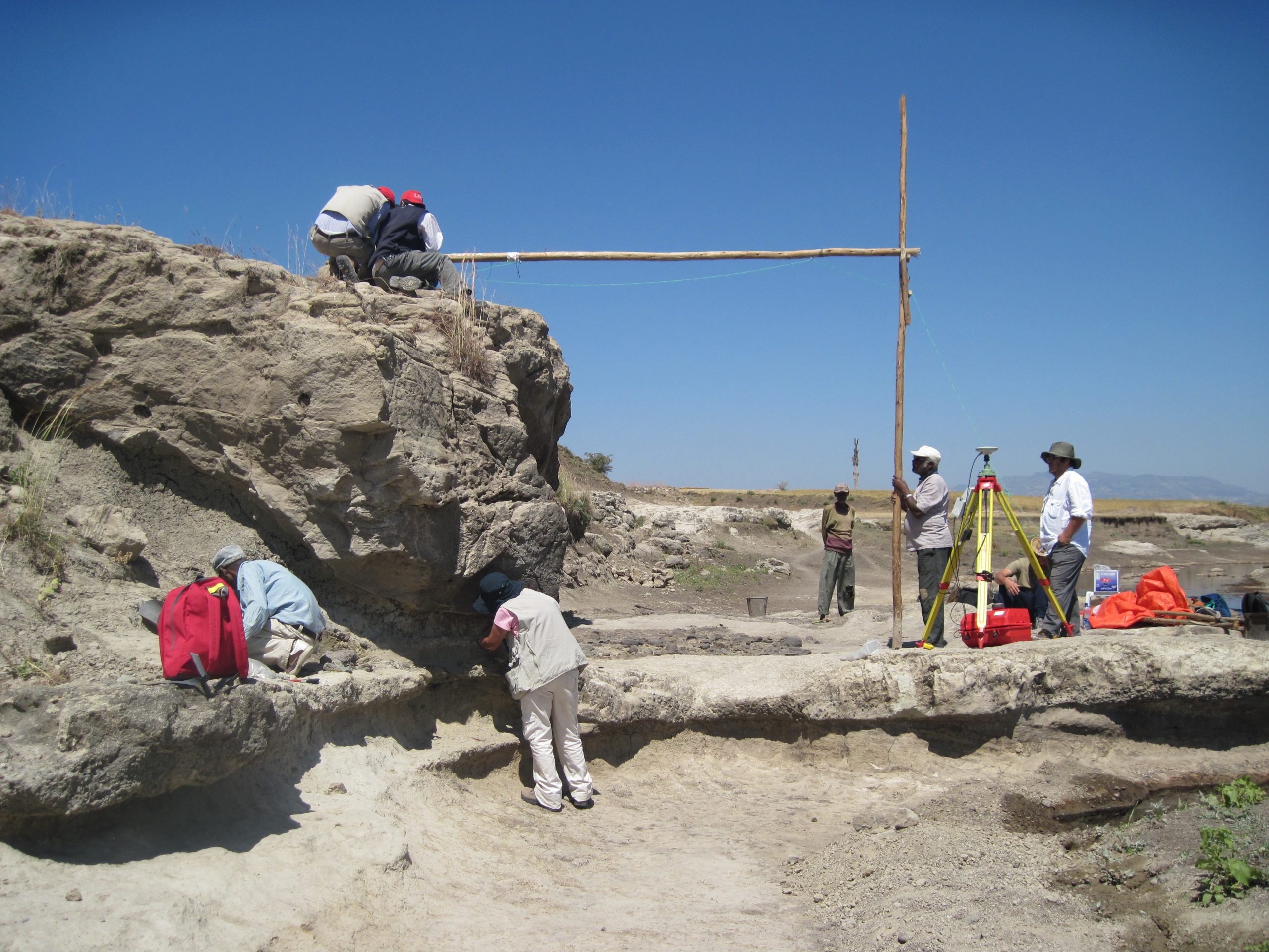
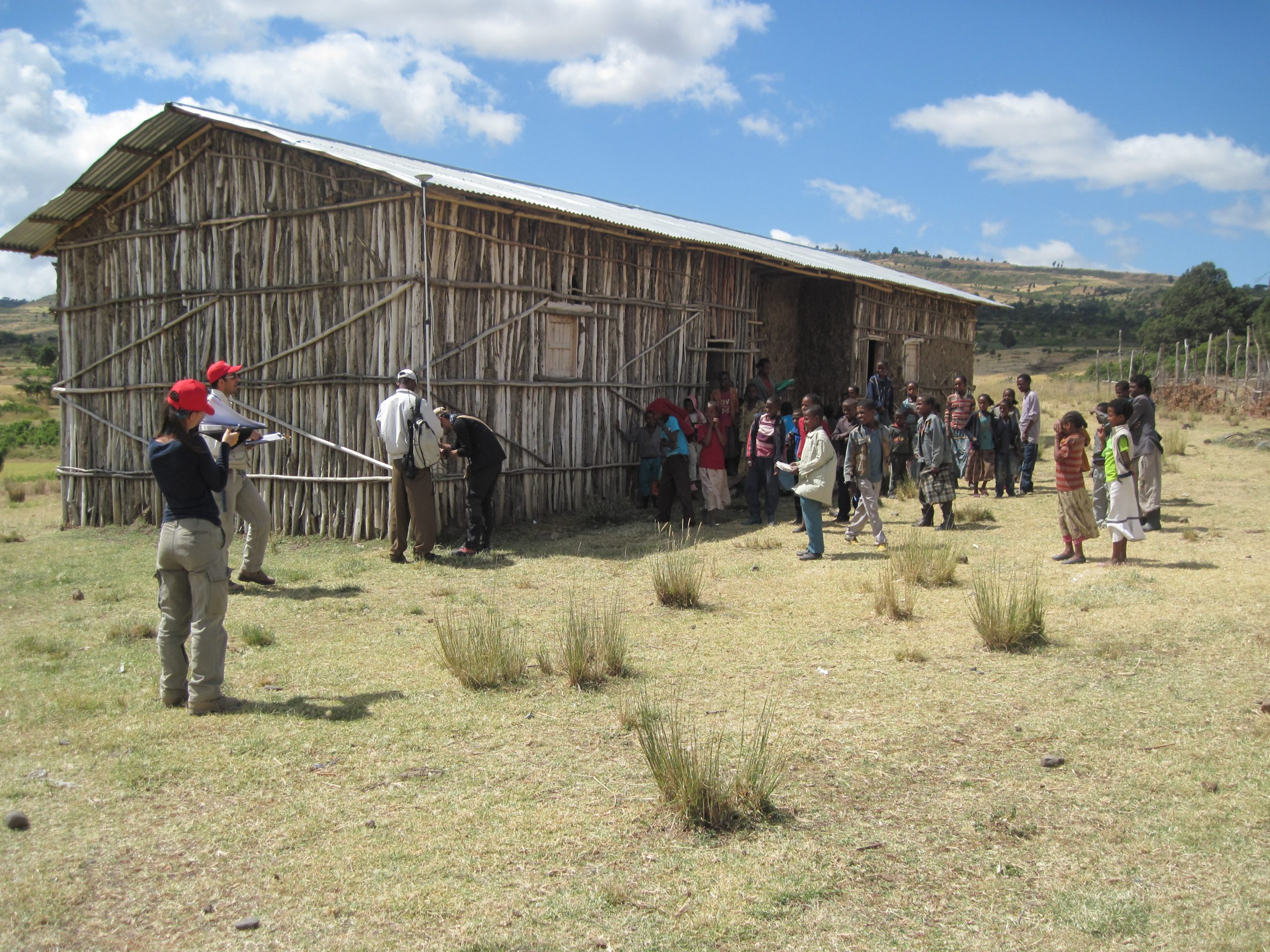
The main objective of the project was the preservation of the Palaeolithic site of Melka Kunture (1.7 – 0.2 Ma bp), the creation of a museum based on the results of archaeological research carried out over the last forty years and the development of tourism in the area. The Center for GeoTechnologies collaborated in the project in the Geographic Information System (GIS) and remote sensing field of study. The result is the creation of topographic-archaeological maps on a nominal scale of 1: 10,000 in order to constitute the Geographic Information System (GIS). The maps, delivered to the Ethiopian Archaeological Service, were used to propose Melka Kunture as a UNESCO World Heritage Site and to conduct spatial analyses for a better understanding of the relationships between humans and the environment in the past. In addition, the maps represent a topographic basis for the creation of a Web GIS, designed as a structural basis for navigating the Melka Kunture website. The application of photogrammetric techniques to the OAM (Open Air Museum) and Symbiro di Gombore II sites, composed of palaeo-surfaces aged at 0.8-0.7 Myr bp, allows archaeological data to be recorded and internal site analyses to be carried out that are useful for understanding the site formation process.