

The Emilia-Romagna, Marche, Tuscany and Umbria Regions have been working closely together since the 1990s on the production of Geological Cartography, proposing, also within the national CARG project, original developments and technical solutions for the survey, conservation and dissemination of geological data. This commitment has been realised by making available for the entire territory of the four regions the geological cartography, mostly computerised, at a detailed scale (1:10,000) and some web and print services have been made available. On 25 May 2012 a Memorandum of Understanding was signed between the four Regions aimed at pursuing a close collaboration in the field of acquisition, preservation and dissemination of geological and geotematic information and in particular aimed at carrying out the following activities:
Implementation of an interoperable and integrated geological information base starting from the data of the four regions;
Design and implementation of shared geotematics;
Launch and design of INSPIRE services for the dissemination and documentation of geological and geotematic data.
For the realization of the above mentioned activities, in December 2012 the four Regions have charged the GeoTechnology Centre of the University of Siena with the realization of an Interregional Geological Legend and its application to the geological data of the Marecchia-Conca Basin. After one year, in December 2013, all the activities foreseen by the assignment were concluded and a series of documents were produced.
On this page the following documents are freely available:
– Una Relazione che illustra il lavoro svolto [PDF];
– Uno Schema Strutturale dell’Appennino Settentrionale [PDF];
– Una Legenda Geologica Interregionale Preliminare (copre il territorio delle quattro regioni) [PDF];
– La Legenda Geologica del Bacino del Marecchia-Conca [PDF];
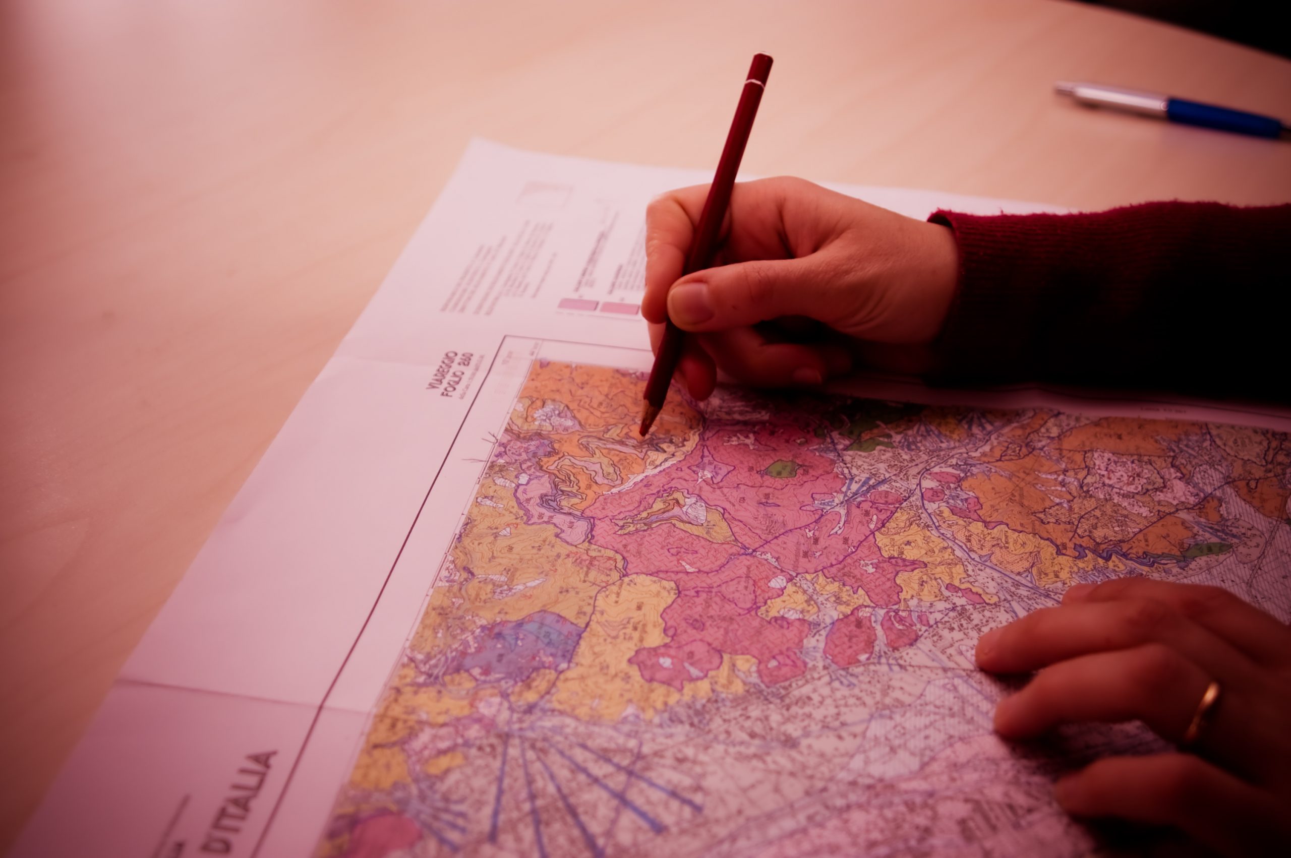
– La Carta Geologica del Bacino del Marecchia-Conca:
– Allestimento per la stampa dell’intero Bacino a scala 1:75.000, senza base topografica [PDF];
– Allestimento per la stampa dell’intero Bacino a scala 1:75.000, senza coperture quaternarie, senza base topografica [PDF];
– Una stampa di una sezione a scala 1:10.000, con base topografica CTR regionale [PDF];
– Legenda a colori [PDF];
For information on the project contact: Dr Paolo Conti (conti@unisi.it).