

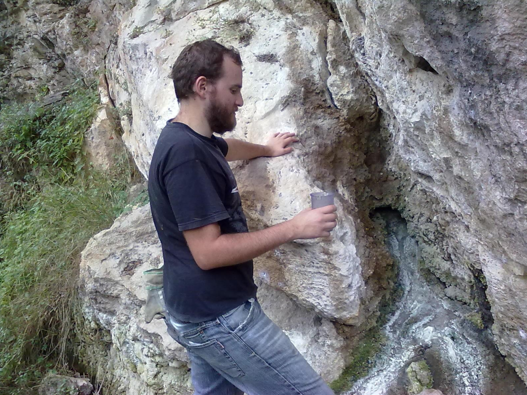
The project, started in August 2010 and finished in July 2011, is functional to the safeguard of the hydrothermal resource of the source of Saturnia (Province of Grosseto), in view of a growing demand for hydrothermal cultivations in the area and, consequently, of a possible impoverishment of the resource and alteration of the landscape in relation to the realization of new collection points.
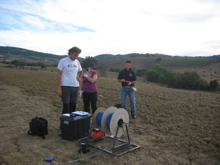
The study area, falling between the municipalities of Roccalbegna, Semproniano and Manciano with an extension of about 24 km2, was divided into 6 sub-areas in relation to their geological peculiarities (stratigraphic and structural characteristics known from the numerous bibliographic sources consulted, well data organized in databases, results of geological survey campaigns), within which 57 multi-electrode measurements (48381 electrical resistivity measurement points) were carried out for 2D electrical tomography and 6 vertical electrical soundings (SEV) for a total of 41.9 linear km explored.
The geophysical investigations were supported by a GPS survey suggested by the need to position the profiles on the available cartographic base (Technical Map of Tuscany Region in scale 1:10000, sections 332060, 332070, 332100, 332110, 332140 and 332150).
The geoelectric investigations have been an essential element for the reconstruction of the main characteristics of the geological-structural and stratigraphic structure of the sedimentary basin since they have allowed the definition of the geometric relationships between the various lithostratigraphic groupings; consequently the geophysical study, correlated with the preliminary geological information, has constituted a fundamental contribution for the realization of a geological model of the hydrothermal area of Saturnia.