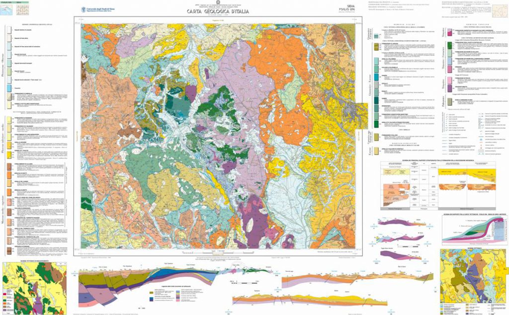
The Carg Project was born at the end of the 1980s. The project envisages the creation of the New Geological Map at a scale of 1:50,000 as a result of scientific activities and the collection and dissemination of geological data in order to obtain a valid tool for land planning. The Carg Project foresees two distinct but interconnected types of geological data products:
1.The computerised provision of geological data (database)
2.The editorial production of the 1:50,000 scale sheet and relative illustrative notes.
In 1999 the SGI stipulated a programme agreement with the University of Siena through the institution of working groups in order to provide CARG operators with a valid instrument for the realisation of the data bank. The objective was to provide integrations to Q.6, both with regard to the computerization and to the printing of the thematic maps. Over the years, the CGT has computerised and printed numerous CARG sheets, some of which are already printed, some in the process of being printed and others in the process of being produced.


