

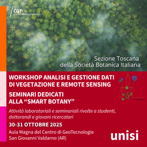
Workshop of the Tuscan Section of the Italian Botanical Society
🌿 The Centre for GeoTechnologies hosts the workshop of the Tuscan Section of the Italian Botanical Society San Giovanni Valdarno, 30-31 october 2025 On 30 and 31 October 2025, the Centre for GeoTechnologies of the University of Siena will host the workshop organised by the Tuscan Section of the Italian Botanical Society (SBI): two days of laboratory and


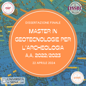
Final dissertation: Master of Science in Geotechnologies for Archaeology A.Y. 2022/2023
The first session of the final dissertation of the Master of Science in Geotechnologies for Archaeology (A.Y. 2022/2023) will take place on April 22nd, 2024 🎓 📜 Candidates will conclude the Master's training course by exhibiting the elaborate result of the activities carried out during the curricular internship in front of the commission: Dr. Chiara Ceccacci: "Capena

Master of Science in Geomatics 2023/2024
⭐ welcome ⭐ to the students of the Master of Science in Geomatics of the University of Siena A.Y. 2023/2024. 👨🏽🏫 During the first lessons of this week of teaching will the Master's themes be introduced and the training objectives exposed, but there will also be the opportunity for a mutual presentation of the students, their expectations
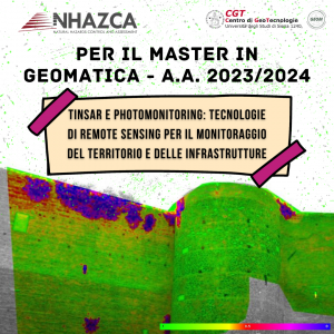
NHAZCA S.r.l. for the Master of Science in Geomatics!
For the A.Y. 2023/2024 edition of the Master of Science in Geomatics, the company NHAZCA S.r.l., a startup of "Sapienza" University of Rome, is organizing a workshop titled: ❝TInSAR and Photomonitoring: remote sensing technologies for land and infrastructure monitoring❞ Explore the New Frontiers of #Geomatics with NHAZCA S.r.l. at the Master in Geomatics of the University of Siena