

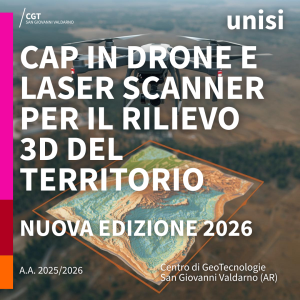
A New Edition of the CGT Advanced Training Course on Terrestrial and Drone-Based 3D Surveying Begins
The activities of the Advanced Training Course (CAP) “Drones and Laser Scanners for 3D Territorial Surveying” have officially begun. The program is organized by the Center for Geotechnologies (CGT) of the University of Siena and is held in person at the San Giovanni Valdarno campus. This new edition opens a training cycle dedicated to advanced techniques
Share:


Master of Science in Geomatics 2023/2024
⭐ welcome ⭐ to the students of the Master of Science in Geomatics of the University of Siena A.Y. 2023/2024. 👨🏽🏫 During the first lessons of this week of teaching will the Master's themes be introduced and the training objectives exposed, but there will also be the opportunity for a mutual presentation of the students, their expectations
Share: